How does a GPS signal work
GPS functionality explained ✓ practical GPS use cases ✓ challenges, interference & future of GPS ✓ learn more!

A GPS signal is a radio signal transmitted by satellites of the Global Positioning System (GPS). Each GPS satellite orbits the Earth at an altitude of about 20,000 kilometers and continuously transmits data. These signals contain highly precise time information as well as the exact position of the satellite.
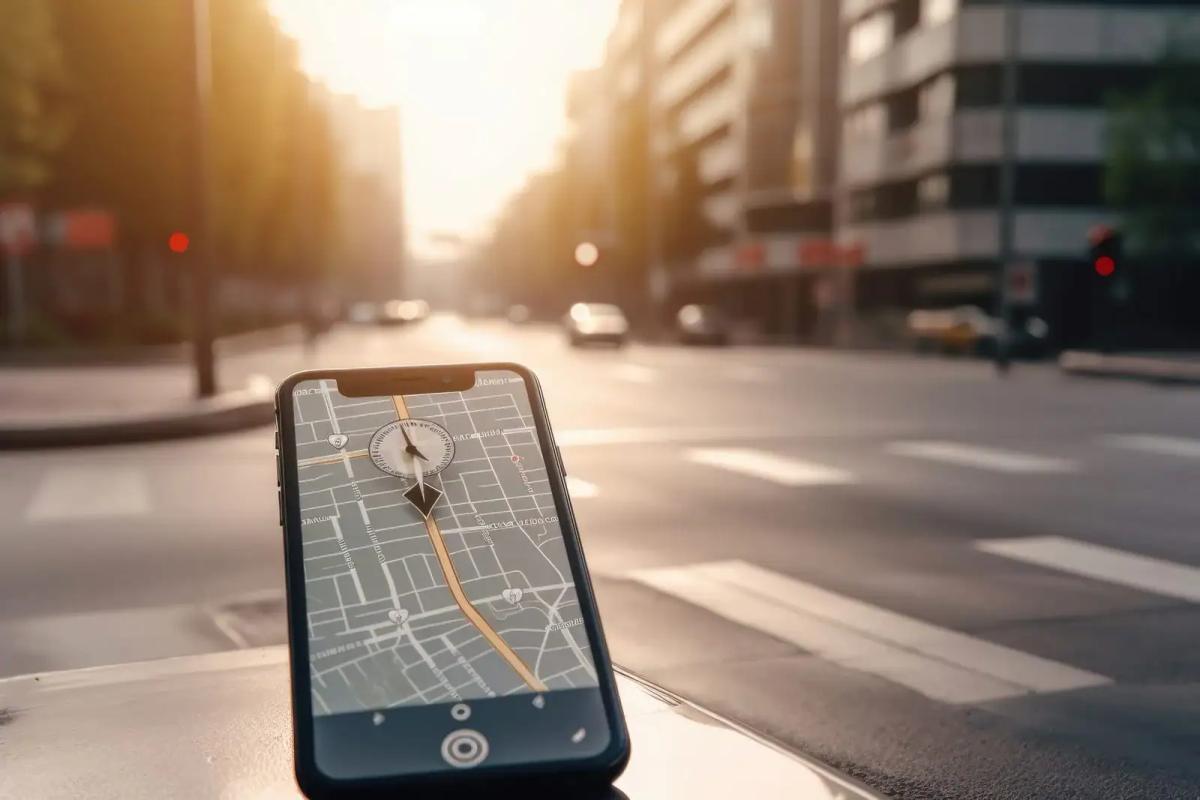
A GPS receiver – such as in a smartphone, car, or IoT sensor – receives several such signals simultaneously. By comparing the time data from the satellite signals, it can calculate its own position to within a few meters. GPS signals thus form the backbone for navigation, tracking, and many modern applications in logistics, security, and industry.
Functionality in Detail
For a GPS receiver to determine its position, several technical steps must occur:
- Signal Transmission
Each GPS satellite transmits radio signals on specific frequencies (e.g., L1, L2, L5). These are synchronized with an extremely accurate atomic clock. - Information in the Signal
A GPS signal contains:- Timestamp (When was the signal transmitted?)
- Ephemeris Data (precise satellite orbit)
- Almanac Data (positions of all GPS satellites)
- Reception at the Device
A GPS receiver compares the timestamps of multiple satellite signals. Since radio signals travel at the speed of light, the device can determine the distance to each satellite based on the differences in travel time. - Trilateration
With the distances to at least four satellites, the exact position (longitude, latitude, altitude) can be calculated.

Features & Benefits of GPS Signals
- Global Availability: GPS works worldwide – independent of mobile networks.
- High Precision: Under optimal conditions, accuracy is 3–10 meters, with correction systems (DGPS, RTK) even a few centimeters.
- Free Reception: GPS signals can be used freely and at no cost.
- Constant Availability: 24/7 transmission, independent of time of day or weather.
- Integration in IoT & Tracking: GPS signals are the foundation for Asset Tracking, fleet management, wearables, or smart city solutions.
Typical Applications
- Everyday Navigation
Smartphones, navigation devices in cars, airplanes, and ships rely on GPS signals to calculate routes. - Logistics & Supply Chain
GPS Trackers enable live tracking of vehicles, containers, and goods – crucial for transparency and efficiency. - Safety & Security
Emergency systems, theft protection, or personal tracking are based on GPS signals to ensure quick assistance. - IoT & Industry 4.0
Machines, sensors, and devices use GPS for positioning, synchronization, and monitoring. - Science & Environment GPS signals aid in earthquake research, weather forecasting, or monitoring animal migrations.
Challenges
Although GPS signals offer many advantages, there are also limitations:
- Obstruction: In tunnels, buildings, or dense cities (“urban canyon”), signals are often blocked.
- Interference: GPS signals are relatively weak and can be affected by jammers (jamming) or reflections (multipath).
- Dependency: GPS is operated by the US military. For additional security, many devices use multi-system solutions (e.g., GLONASS, Galileo, BeiDou).
Future Prospects
The technology continues to evolve:
- New Frequencies (L5): offer more stable and accurate signals.
- More GNSS Systems: Combining with Galileo, GLONASS, and BeiDou increases accuracy and reliability.
- Integration with IoT: GPS signals are increasingly integrated into sensors, wearables, and industrial applications.
- Precision Agriculture, Autonomous Vehicles, Drones – all rely on the advancement of GPS signals.
Summary
A GPS signal is the foundation of modern navigation and tracking. It contains time and position data from satellites, which receivers use to determine their own location. With global coverage, high accuracy, and free access, GPS signals are indispensable for mobility, logistics, security, and the Internet of Things.
Do you have questions about tracking, IoT, and Asset Tracking?